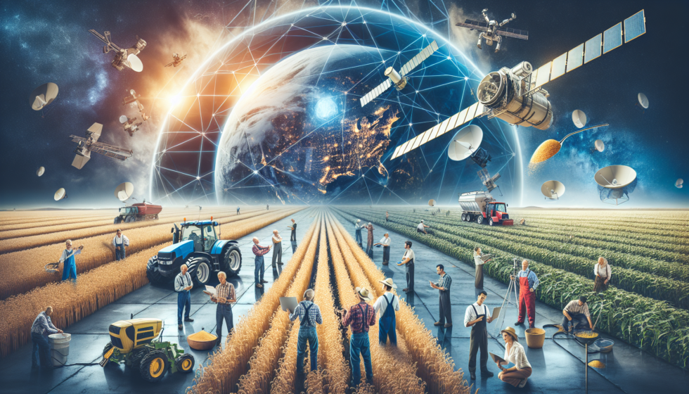
Space Technology in Agriculture
Overview
-
The Ministry of Agriculture & Farmers’ Welfare is integrating space technology into key agricultural functions:
-
Crop forecasting
-
Drought monitoring
-
Insurance support (PMFBY)
-
Decision support systems
-
Major Initiatives Using Space Tech
1. FASAL Project
-
Full form: Forecasting Agricultural output using Space, Agro-meteorology and Land-based observations
-
Purpose: Crop production forecasting using satellite data.
-
Major Crops Covered:
-
Rice, wheat, tur, rapeseed & mustard, rabi jowar, cotton, jute, sugarcane, soybean, lentil, and gram.
-
2. Drought Monitoring
-
Geoportal developed with SAC (ISRO), Ahmedabad.
-
Tracks multiple indicators:
-
Rainfall
-
Soil moisture
-
Satellite-based crop condition
-
Water storage levels
-
3. Support to PMFBY (Pradhan Mantri Fasal Bima Yojana)
-
Space tech used in:
-
Smart Sampling for Crop Cutting Experiments (CCEs)
-
Yield estimation
-
Dispute resolution (area/yield disputes)
-
Krishi-DSS (Decision Support System)
-
Type: Cloud-based geo-spatial platform.
-
Purpose: Empower stakeholders with real-time data.
-
Data Hosted:
-
Satellite images
-
Weather data
-
Soil layers
-
Water-related datasets
-
Field-level information
-
-
Features: Various AI/ML-based modules for agricultural decision-making.
YESTECH Initiative under PMFBY
-
Full form: Yield Estimation System using Technology
-
Pilot Period: 2019–2023 with Government & Private entities.
-
Technologies Used:
-
Satellites
-
UAVs (Drones)
-
Simulation models
-
AI/ML algorithms
-
-
Outcome:
-
GP-level yield estimates.
-
Rolled out from Kharif 2023 for Paddy & Wheat
-
Rolled out from Kharif 2024 for Soybean
-
Aims for timely & transparent insurance claim settlement.
-
Significance
-
Strengthens evidence-based farm management.
-
Enables transparent insurance processes.
-
Supports climate-resilient agriculture and disaster preparedness.