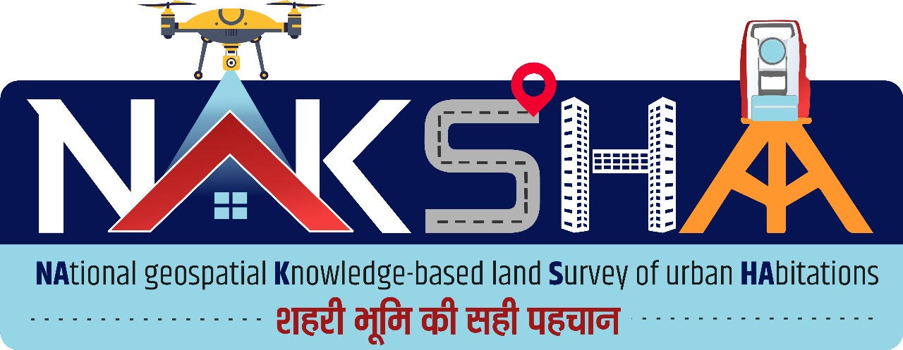
NAKSHA Programme (NAtional geospatial Knowledge-based land Survey of urban HAbitations)
Introduction
Launched by: Department of Land Resources (DoLR), Ministry of Rural Development
Under: Digital India Land Records Modernization Programme (DILRMP)
Nature: Pilot programme for digital urban land mapping and ownership authentication
Objective: To create accurate, GIS-integrated urban land records using drone and aerial surveys, enabling transparent ownership, efficient governance, and reliable urban planning.
Goal: “One Nation, One Land Record”
Background: DILRMP
Component | Details |
Origin | Initially launched as National Land Records Modernization Programme (NLRMP) in 2008. |
Renamed | Digital India Land Records Modernization Programme (DILRMP) in 2016. |
Funding | Central Sector Scheme (100% funded by Government of India). |
Objective | To modernize land records, ensure real-time updates, integrate textual and spatial data, link registration with revenue records, and move towards a conclusive title system with legal guarantee. |
Key Objectives of NAKSHA
Accurate Urban Mapping:
Conduct detailed geospatial, aerial, and drone-based surveys of urban habitations.
Build a digital cadastral map integrated with GIS.
Transparent Property Ownership:
Create legally certified, verifiable land records accessible to citizens.
Reduce litigation and disputes related to land ownership and boundaries.
Urban Governance and Planning:
Facilitate scientific town planning, zoning, and infrastructure development.
Support Smart Cities Mission and PM GatiShakti Master Plan.
Municipal Revenue Enhancement:
Enable accurate property taxation, valuation, and revenue forecasting.
Investor Confidence:
Reliable land titles and GIS-based verification help attract urban real estate and infrastructure investments.
Disaster Preparedness:
Verified land and property data aid in post-disaster reconstruction and resilience planning.
Technical Framework
Component | Description |
Geospatial & GNSS Mapping | High-precision mapping using Global Navigation Satellite System (GNSS) and Electronic Total Station (ETS). |
Drone & LiDAR Technology | Drone-mounted cameras and LiDAR sensors capture high-resolution aerial imagery for accurate ground surveys. |
Web-GIS Integration | Maps and ownership data hosted on Web-GIS portals for real-time visualization and citizen access. |
Data Analytics & AI Tools | Enables property classification, encroachment detection, and urban growth analysis. |
Institutional Collaboration
Partner | Role |
Department of Land Resources (DoLR) | Nodal Ministry implementing NAKSHA. |
Survey of India | Technical partner conducting aerial and ground surveys. |
NICSI & MPSeDC | Provide digital infrastructure and software support. |
Five Centres of Excellence (CoEs) | Conduct capacity-building and training programmes. |